
Aspalathras White
Aspalathras White is listed for travellers researching Folegandros. Use the links below for cars and local areas.
Aspalathras White in Folegandros (Folegandros) appears in the GoFleet hotel directory. This page does not sell a transfer by itself — open car hire and destination pages to continue planning.
Tip: pair Aspalathras White with car hire and nearby beaches or ports using the links on this page.
GoFleet Contributors
Travel Advice & Tips in Folegandros
Practical tips from GoFleet Contributors — curated for this destination.
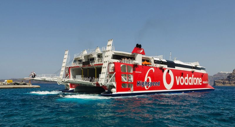
Cyclades Ferries in Summer Wind: How to Plan a Buffer Day
In July and August the meltemi, a strong north wind, regularly blows across the Aegean. Big conventional ferries usually keep sailing, but small high-speed catamarans are the first to be delayed or cancelled. A little planning keeps one windy day from wrecking your flight home.


Exploring Greece? Keep Your Booking Details Handy!
Exploring Greece is all about enjoying every moment! 🇬🇷 Keep your booking details organised and follow these simple tips for a smoother, stress-free holiday.


# Cruising in Greece: A Few Things I’ve Learned

eSIM or physical SIM? Why it is worth choosing for your next trip
eSIM vs physical SIM for travel: stay online from landing without swapping cards. What to check before you buy.

Van & Minivan Transfers in Greece Travel together, comfortably and without the hassle

Food & Local Life
Overview
Aspalathras White is listed for travellers researching Folegandros. Use the links below for cars and local areas.
Rent a Car
Compare car hire near Folegandros, Folegandros.
FAQ
- Is Aspalathras White a good base in Folegandros?
- Travellers often research Aspalathras White when staying in Folegandros. Compare car rental and local hubs from the links below.
- Are there beaches or ports near Aspalathras White?
- Related beaches, ports and villages for Folegandros appear in the links on this page when they are in the destination graph.
Map
Map pin: Aspalathras White (36.624699, 24.919752). Open map in OpenStreetMap →